Erie Attica Trail, Avon, NY
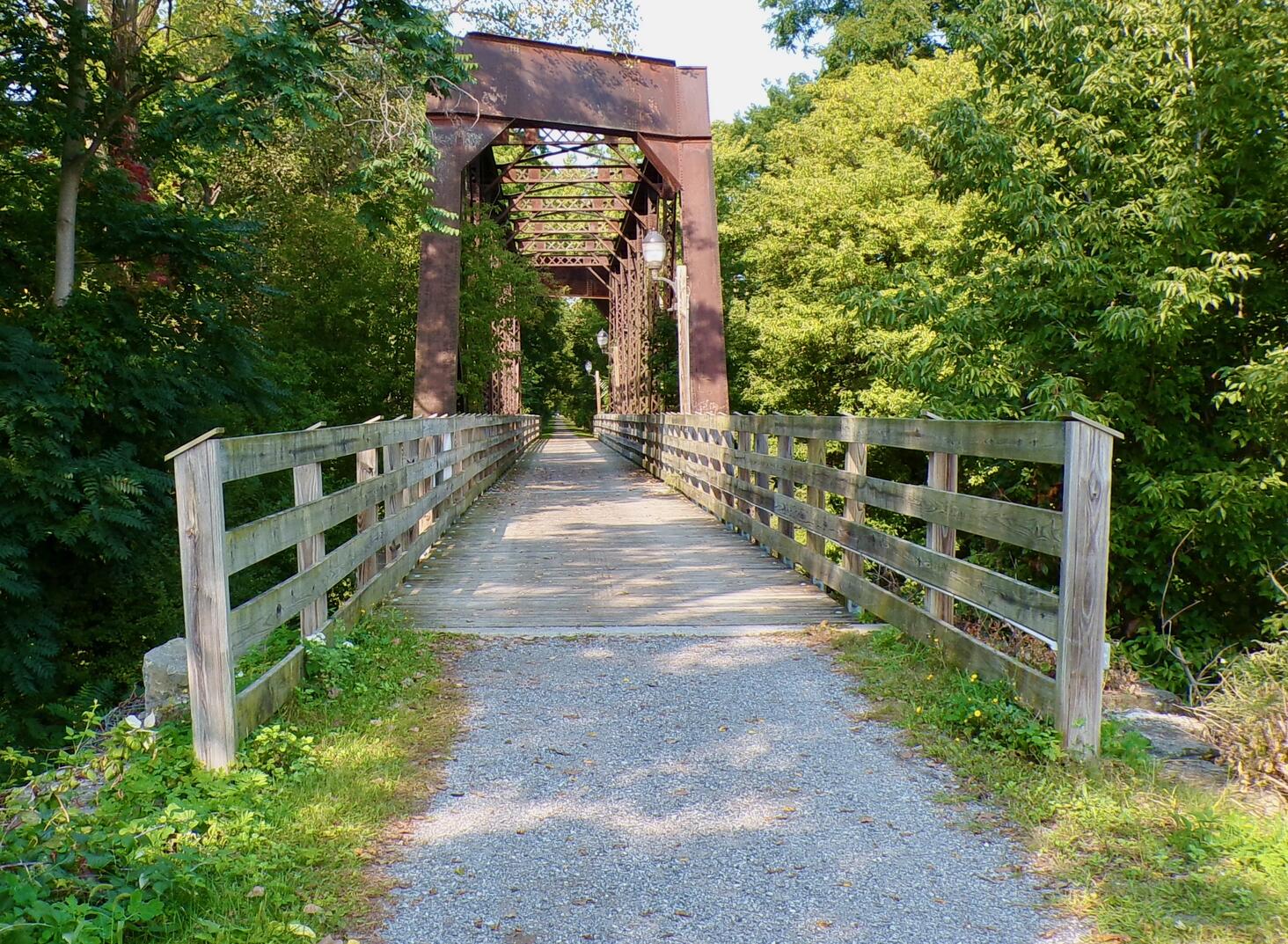
The Erie Attica Trail is a 1.15 mile rail trail in the city of Avon, NY. It proceeds west from a large parking lot off Main Street to the Genesee Valley Greenway. This is a former railbed of the Erie-Lackawanna Railroad.
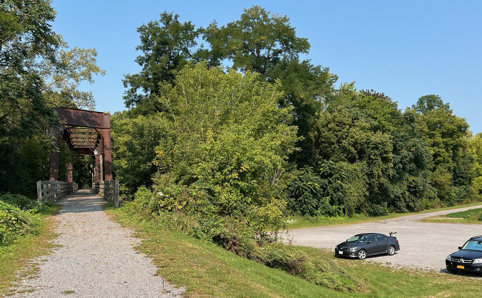
To find the parking lot, turn north onto Farmers Road off Main Street, Avon, NY.
In about a half mile, the road goes under a trail (formerly railroad) bridge.
A large gravel lot is on your right just past the bridge underpass.
(Note: don’t trust Google or Apple Maps for the trailhead as they may take you to the eastern end of the trail on Horseshoe Blvd which does not access the parking lot.)
The intersection of Main Street and Farmers Road is at 42.917733, -77.756210![]() .
.
Leave No Trace, Ten Essentials
While you’re enjoying the outdoors, please
leave no trace![]() to minimize your impact and preserve these special places for others to use as well.
If you’re walking or hiking, please pack the
REI ten essentials
to minimize your impact and preserve these special places for others to use as well.
If you’re walking or hiking, please pack the
REI ten essentials![]() for your own safety. When cycling, consider using this REI checklist
for your own safety. When cycling, consider using this REI checklist![]() .
For other activities, review the hiking and biking essentials and use your judgment.
.
For other activities, review the hiking and biking essentials and use your judgment.
Trail Surface
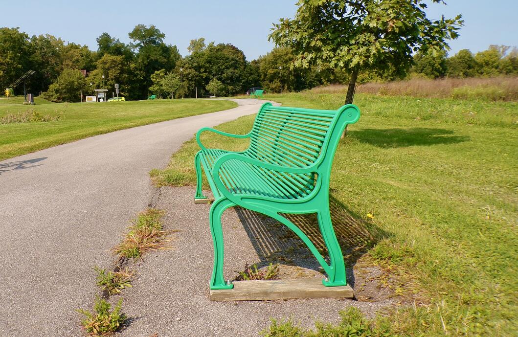
The trail surface is gravel and crushed stone. It’s a smooth walk or ride. A short section from the parking lot east to Horseshoe Blvd is paved.
Please consider carefully whether this trail surface is suitable for your activity.
Restrooms
There is a portable toilet in the parking lot.
Parking
The trail has a large, dedicated parking lot off Farmers Road. It is gravel, not paved or striped.
Points of Interest
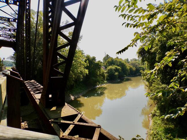
Points of Interest include:
- Nice views of the Genesee River from the railroad bridge
- The railroad bridge
- The trail ends at the Genesee Valley Greenway. You can increase your walk or ride distance by going either north or south on this connecting rail trail.
- The trail circumnavigates several old bridge abutments.
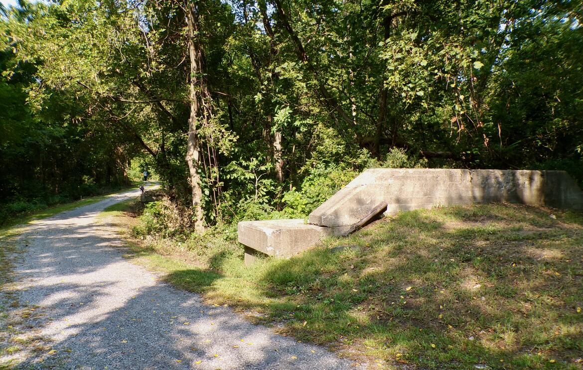
History
The “ERIE-ATTICA RAILROAD BRIDGE AND TRAIL FEASIBILITY STUDY” is interesting reading about recent history of the trail and alternatives considered.
In “Avon Railroads,” September, 2020, John L. Liccini Jr. writes of the bustling railroad history in Avon:
The role of the railroad shaped daily life in the Genesee Valley and Avon by bringing easy and fast access to the region. Passenger traffic to Avon increased substantially for people to “take the Water Cure” at the many sanitariums located in Avon. Workers from Avon, Geneseo and Mount Morris could commute to work in Rochester each day and continue to live in their respective homes. Farmers could economically ship grain, meat, dairy products, lumber products and ice to markets in Buffalo and New York City quickly and competitively. Industrial products to support farms and homes could be shipped into the region, and manufactured goods could be shipped out with the same efficiency. Prosperity of Avon and the surrounding region grew immensely through the access that railroads gave to the area.
All lines were taken over by the Erie Railway in 1863 and stayed within Erie’s control until the merger with the Lackawanna Railroad to form the Erie-Lackawanna Railroad on October 17, 1960. The Erie Lackawanna was merged into the Conrail system on April 1, 1976 and remained there until Conrail dispersed its trackage to the CXS and NS systems in 1999.
Trail Summary
| Distance | 1.15 miles point to point | 2.3 miles out and back |
| Elevation gain | 52 feet | |
| Trail surface | Gravel, crushed stone | |
| Difficulty | Easy | |
| Farmers Road parking and trailhead | 42.922826, -77.756430 | plenty of parking, not paved, not striped |
Maps
All Trails
Both free![]() and premium All Trails accounts provide the capability to load and navigate this map.
Tap/click the trail name on the map to enlarge.
Scan the QR code to load the map into All Trails app on your smartphone.
and premium All Trails accounts provide the capability to load and navigate this map.
Tap/click the trail name on the map to enlarge.
Scan the QR code to load the map into All Trails app on your smartphone.
Why have we chosen All Trails for maps for this site?
