Blaisdell-Emery Trail, Bradford, PA

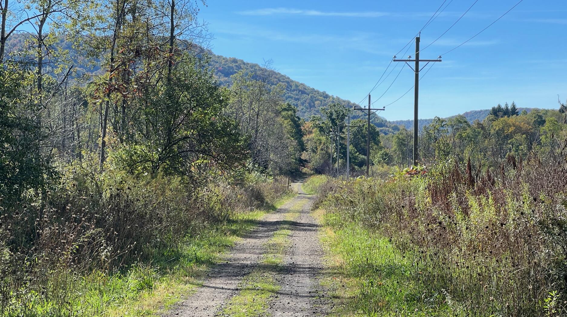
The Blaisdell-Emery Trail is a 3.8 mile rail trail near Bradford, PA. It is mostly a two-track trail of packed earth and gravel.

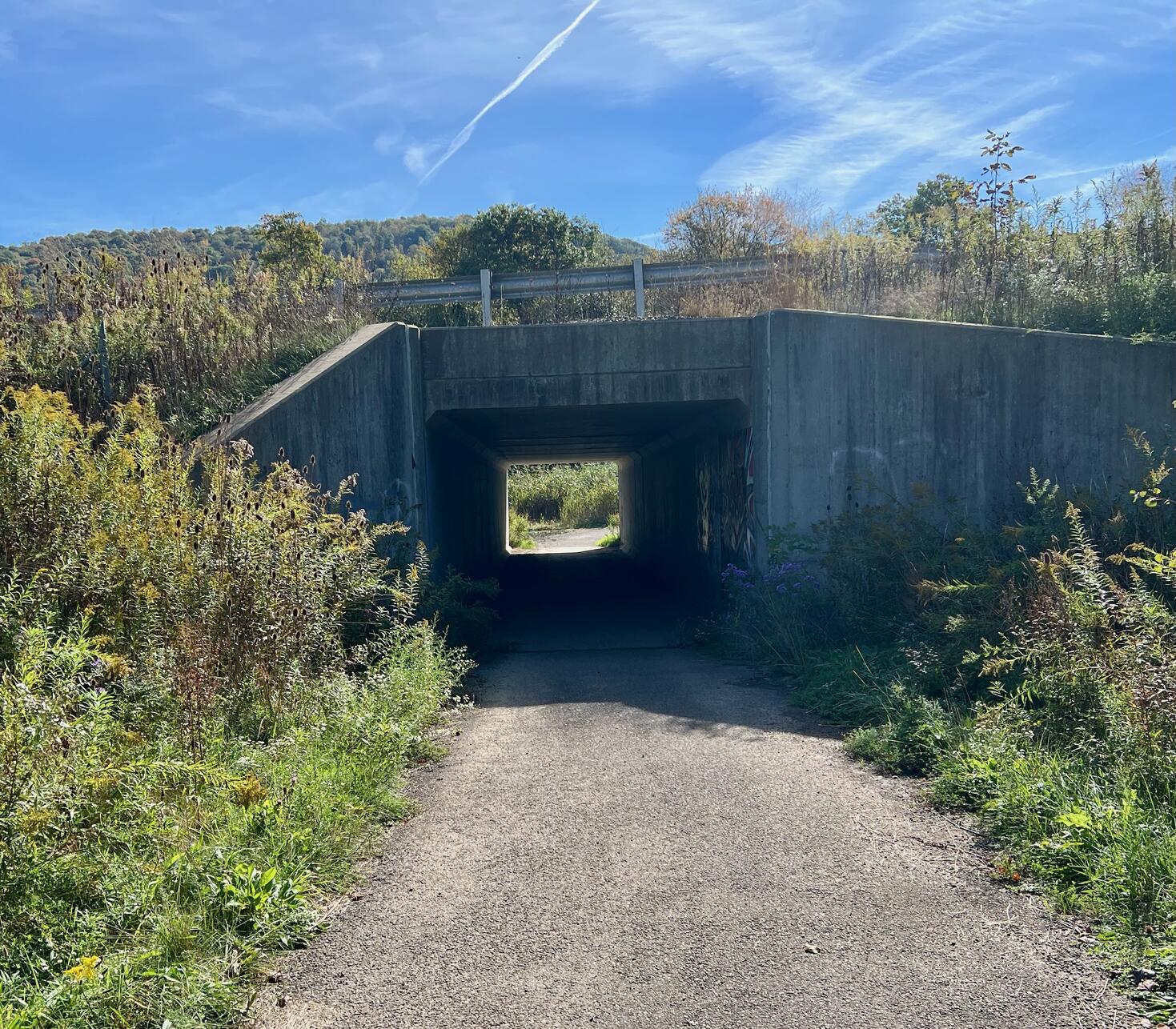
Starting at its northern trailhead on Owens Way, an exit off Route 219, the trail descends under Route 219 and then returns to the railroad grade. The southern trailhead is near Hanley Drive and Main Street in the borough of Lewis Run, PA.
This is a former railbed of the Buffalo, Rochester and Pittsburgh Railroad. Along the trail, you’ll find mostly deciduous woods, farmland, and a cemetery.
The trail is administered by the Pennsylvania Bureau of Recreation and Conservation, Department of Conservation and Natural Resources.
Leave No Trace, Ten Essentials
While you’re enjoying the outdoors, please
leave no trace![]() to minimize your impact and preserve these special places for others to use as well.
If you’re walking or hiking, please pack the
REI ten essentials
to minimize your impact and preserve these special places for others to use as well.
If you’re walking or hiking, please pack the
REI ten essentials![]() for your own safety. When cycling, consider using this REI checklist
for your own safety. When cycling, consider using this REI checklist![]() .
For other activities, review the hiking and biking essentials and use your judgment.
.
For other activities, review the hiking and biking essentials and use your judgment.
Trail Surface
This is mostly a two-track trail of packed earth and gravel. At 0.2 miles into the trail from the northern trailhead, an asphalt section descends under Route 219 and then returns to the railroad grade.
Please consider carefully whether this trail surface is suitable for your activity.
Restrooms
There are no public restrooms at the trailheads or along the trail.
Parking
A few cars can park near the northern trailhead, which appears to be at the western edge of a trucking and construction materials company’s parking lot. This is not paved or striped. There is small parking lot on Hanley road at the southern trailhead. This too is not paved or striped.
Points of Interest

Points of Interest include:
- Route 219 underpass
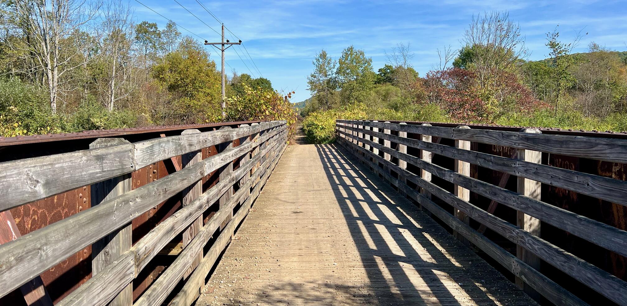
- Preserved railroad bridge over Tunungwant Creek (AKA Tuna Creek)
- Deciduous forest
- Wildlife
- Cemetery at Minard Run Road
- Penn-Brad Oil Museum
History
Buffalo & Pittsburgh page of the Genesee & Wyoming Inc. ![]() reports:
reports:
In 1883, through its subsidiary, the Buffalo, Rochester and Pittsburgh Railroad extended its trackage south from Salamanca to reach the coal fields of Pennsylvania. To accomplish this required bridging the Kinzua Creek Gorge. The R&P used what was, for the time, the world’s highest railroad bridge. Built by the New York, Lake Erie, and Western Railroad and Coal Company, the structure was more than 300 feet above the creek and more than 2,000 feet long. Construction took only 94 days. The single track over the bridge was shared by the Erie and the R&P; this proved to be a bottleneck, and the company which succeeded the Rochester and Pittsburgh Railroad Company, the Buffalo, Rochester and Pittsburgh Railway, built a 40-mile detour, opening it in 1893. The bridge, which carried trains from the Buffalo & Pittsburgh Railroad, was shut down in 1959 and heavily damaged in a 2003 tornado.
Trail Summary
| Distance | 3.8 miles point to point | 7.6 miles out and back |
| Elevation gain | 141 feet | |
| Trail surface | Packed earth and gravel | |
| Difficulty | Easy | |
| Owens Way trailhead and parking | 41.929283, -78.650542 | A few cars, not paved, not striped, not marked accessible |
| Lewis Run trailhead and parking | 41.874641, -78.654287 | Small lot, not paved, not striped, not marked accessible |
Maps
All Trails
Both free![]() and premium All Trails accounts provide the capability to load and navigate this map.
Tap/click the trail name on the map to enlarge.
Scan the QR code to load the map into All Trails app on your smartphone.
and premium All Trails accounts provide the capability to load and navigate this map.
Tap/click the trail name on the map to enlarge.
Scan the QR code to load the map into All Trails app on your smartphone.
Why have we chosen All Trails for maps for this site?
