Railroad Bed Trail, Avon, NY
“Better than a good day at work”
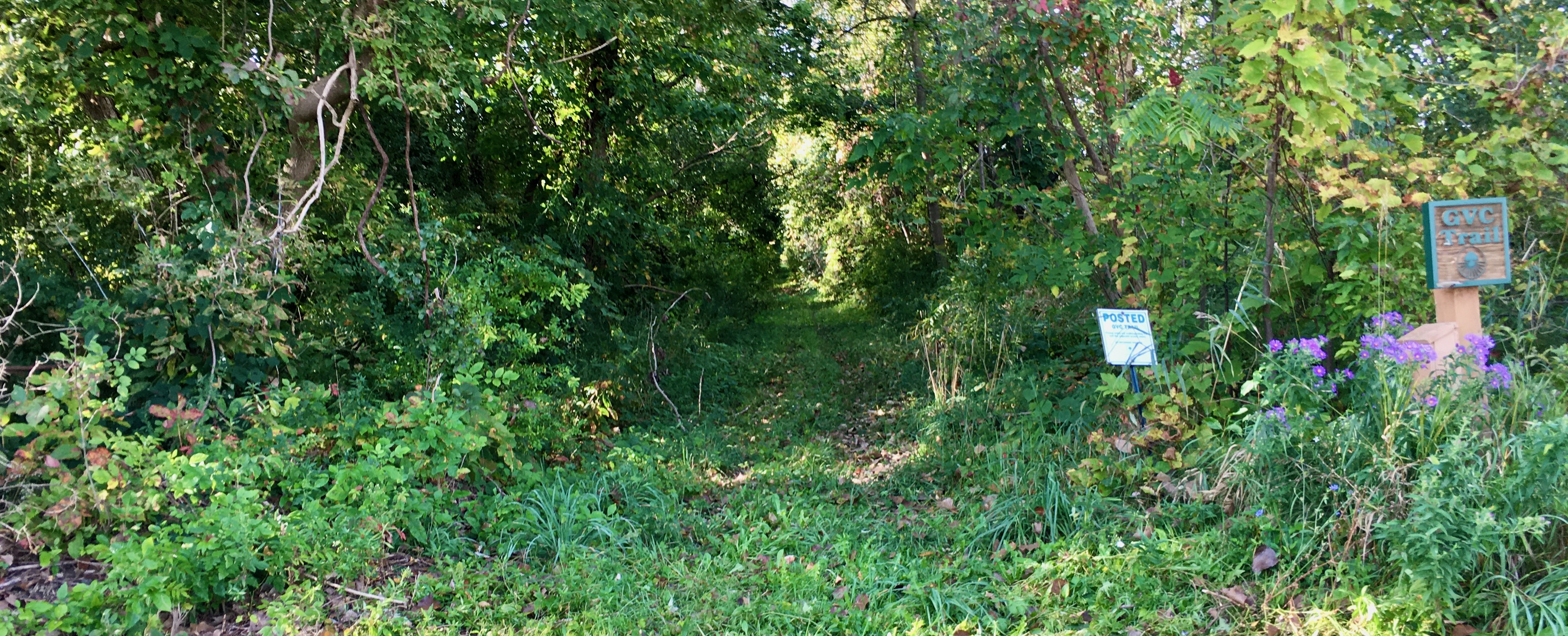
The Railroad Bed Trail, of the Genesee Valley Greenway, is a 6.4 mile out-and-back rail trail in the town of Avon, NY. This is a former railbed of the Genesee Valley Canal Railroad. The trail proceeds southwest from the intersection of Fowlerville and Avon-Genesee Roads. It crosses Hogmire and South Avon Roads. It is developed and maintained by The Friends of the Genesee Valley Greenway, Inc.
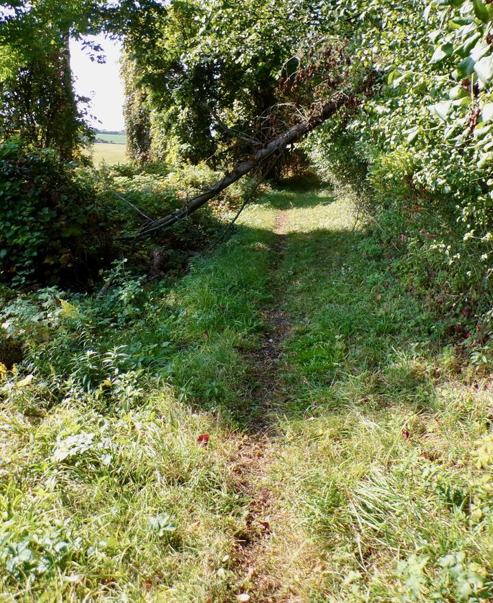
You could take the trail hiking, mountain biking, or on horseback. All wheelchair users, families with strollers, and rollerbladers, please note: you should probably avoid this trail unless you have off-road capabilities. The trail is mostly a footpath among overgrown weeds, with some wide sections under trees that are alternately hard-packed earth and mud. You will see evidence of horses through here, from their manure and deep muddy hoof prints. Other than that, it is a lovely trail, shaded by deciduous trees for nearly all of it. There are a few good views of the countryside (mostly corn fields) through the trees. Snowshoes and cross country skis may work well after a good snow.
Leave No Trace, Ten Essentials
Section titled “Leave No Trace, Ten Essentials”While you’re enjoying the outdoors, please leave no trace![]() to minimize your impact and preserve these special places for others to use as well. If you’re walking or hiking, please pack the REI ten essentials
to minimize your impact and preserve these special places for others to use as well. If you’re walking or hiking, please pack the REI ten essentials![]() for your own safety. When cycling, consider using this REI checklist
for your own safety. When cycling, consider using this REI checklist![]() . For other activities, review the hiking and biking essentials and use your judgment.
. For other activities, review the hiking and biking essentials and use your judgment.
Trail Surface
Section titled “Trail Surface”The trail is mostly a footpath among overgrown weeds, with some wide sections under trees that are alternately hard-packed earth and mud. You will see evidence of horses through here, from their manure and deep muddy hoof prints. There is a smooth, well-mown section just south of South Avon Road.
There’s a fair bit of mud, possibly due to deep shading. These sections may not see the sun until winter. Two particularly long sections are at two miles out from the trailhead for a tenth of a mile and three miles out for about a quarter mile.
Please consider carefully whether this trail surface is suitable for your activity.
Restrooms
Section titled “Restrooms”There are no public restrooms at the trailheads or along the trail.
Parking
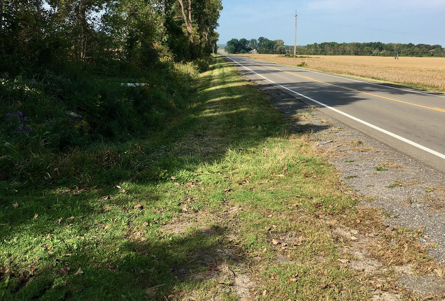
Section titled “Parking”There is a small, gravel parking lot at the northwest corner of Fowlerville and Avon-Genessee. I did not see a sign designating it as trail parking, so I parked by the side of the road at the trailhead where there is plenty of room to get off the road.
Points of Interest
Section titled “Points of Interest”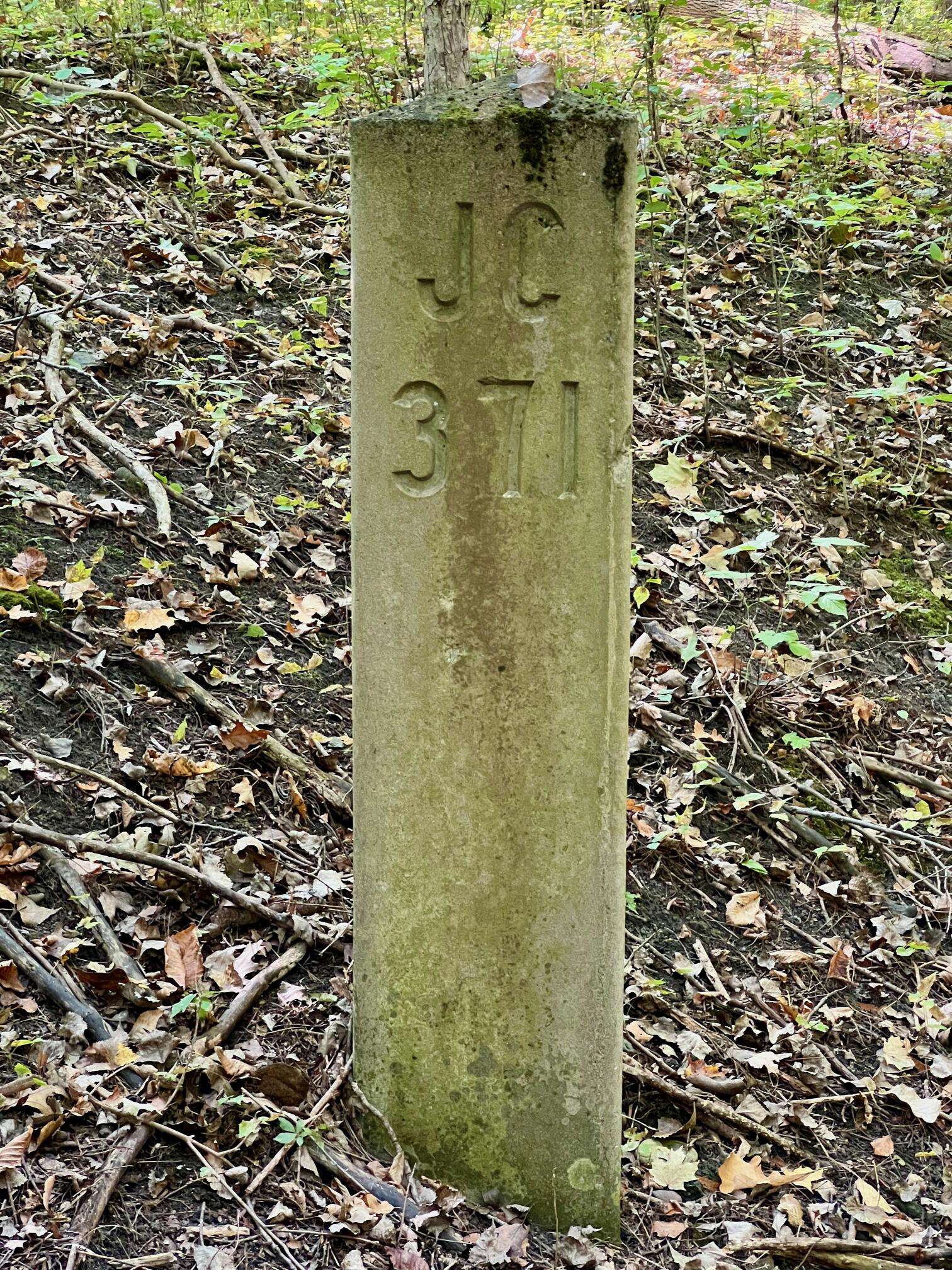
Points of Interest include:
- Several very large deciduous trees
- Farmland in every direction where you can see through the trees
- A profusion of wildflowers, birds, squirrels, chipmunks, and other wild animals, including white-tail deer. As you would expect, the deer are more skittish than in a nature preserve.
- Several benches for resting
- One very well-preserved railroad marker
History
Section titled “History”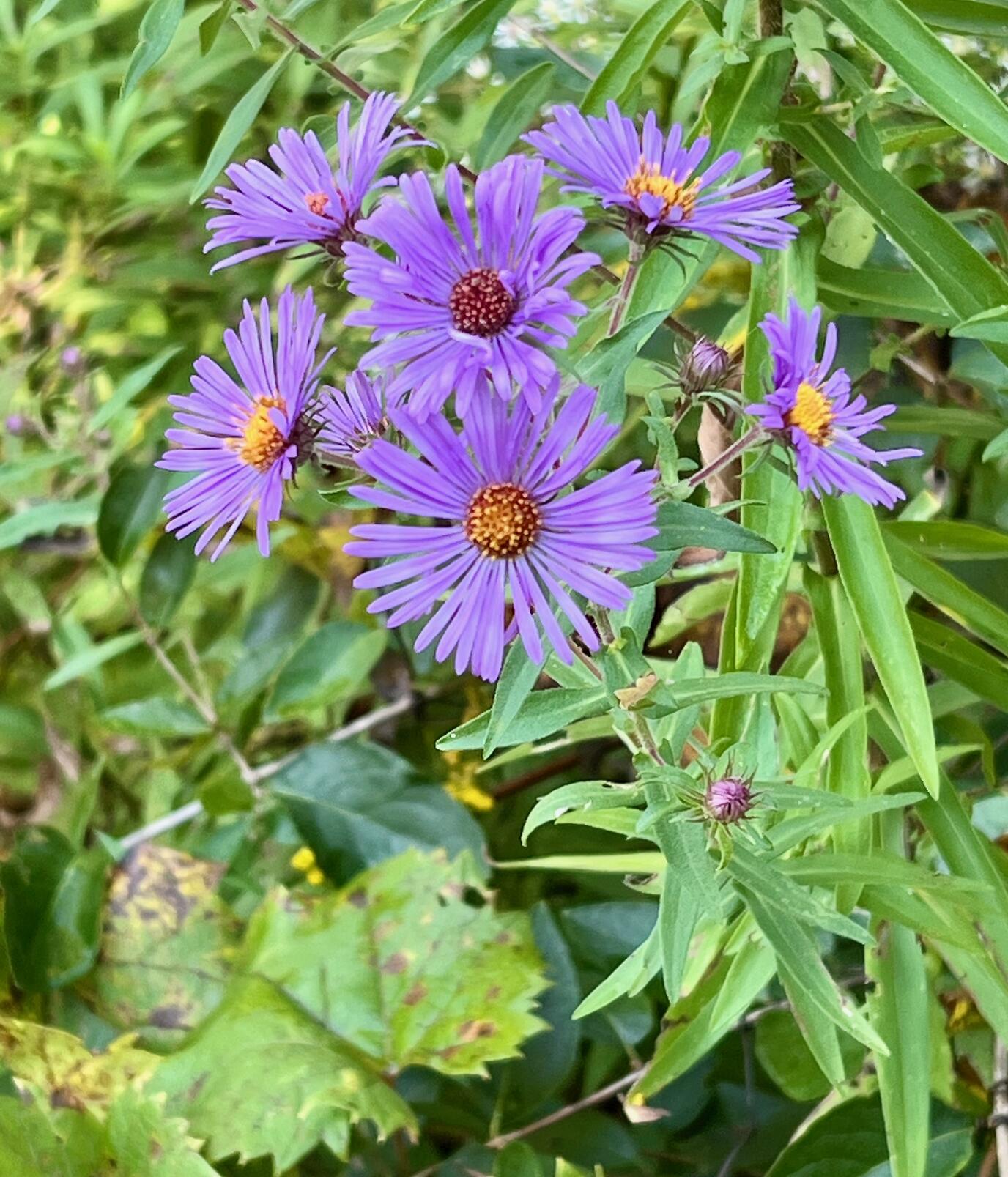
The Friends of the Genesee Valley Greenway, Inc. have one of the best rail trail websites I’ve seen.
From Railroad History:
At one time, six passenger trains and six to eight freight trains a day operated on the Rochester Branch between Rochester and Olean. In the early part of the twentieth century, a commuter train even ran daily between Nunda and Rochester. The Rochester Branch transported gypsum from Garbutt and salt from the mines at Retsof and Cuylerville to places throughout the country and brought coal from Pennsylvania to Rochester industries.
And from Greenway Corridor acquired by several entities:
After the railroad ceased operation, in 1963 RG&E [ed. Rochester Gas & Electric?] purchased from Penndel Corporation the canal prism from Genesee Junction south to the New York State Thruway bridge in Chili and the complete former canal and railroad corridor from Wadsworth Junction in Livingston County south to Hinsdale in Cattaraugus County. The corridor of the former Swains Branch Railroad from Nunda Junction in Livingston County to the town of Grove in Allegany County was also included in this purchase. In 1984, NYS OPRHP [ed. New York State Office of Parks, Recreation and Historic Preservation] purchased the other portions of the former canal and railroad corridor that RG&E had not acquired from the Pennsylvania Railroad between Wadsworth Junction and near Genesee Valley Park.
The latter page also describes the formation of The Friends of the Genesee Valley Greenway, Inc.
Trail Summary
Section titled “Trail Summary”| Distance | 3.2 miles point to point | 6.4 miles out and back |
| Elevation gain | 79 feet | |
| Trail surface | Grass, weeds, mud, packed earth | |
| Difficulty | Moderate | |
| Fowlerville Road parking and trailhead | 42.893387, -77.767718 | limited side of road parking, possible gravel lot |
All Trails
Both free![]() and premium All Trails accounts provide the capability to load and navigate this map. Tap/click the trail name on the map to enlarge. Scan the QR code to load the map into All Trails app on your smartphone.
and premium All Trails accounts provide the capability to load and navigate this map. Tap/click the trail name on the map to enlarge. Scan the QR code to load the map into All Trails app on your smartphone.
Why have we chosen All Trails for maps for this site?
