Westshore Trail Extension, Clarence, NY

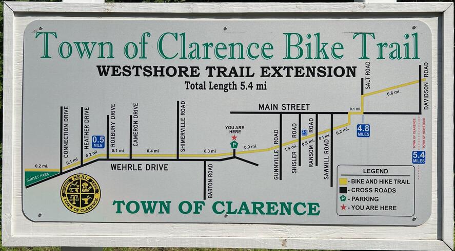
The Westshore Trail Extension (AKA West Shore Trail, Clarence Pathways, Clarence Akron Pathway) is a 4.1 mile paved rail trail in the town of Clarence, NY. The western terminus is Wehrle Drive while the eastern is Davison Road. This is a former railbed of the West Shore Railroad Company (formerly the New York, West Shore & Buffalo Railway Company).

Clarence has another rail trail, the Clarence Pathways Peanut Line, which does not intersect with the Westshore Extension Trail.
The trail continues westward past Wehrle Drive on to Sunset Park, but it is not a rail trail. The eastern end of the Westshore Extension continues onto the Newstead-Akron Bike Path.
The elevation gain is 92 feet over 4.1 miles, making this an easy trail for all.
The trail intersects with streets at Gunnville Road, Shisler Road, Sawmill Road, Main Street, and Salt Road. It crosses over Ransom Road on a well-built, very safe overpass.

Beware that you share the trail with cars and trucks from Shisler Road to the Clarence Parks Department which is near the southern end of Main Street Town Park![]() . Thankfully, the trail is wider here.
. Thankfully, the trail is wider here.
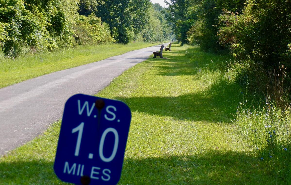
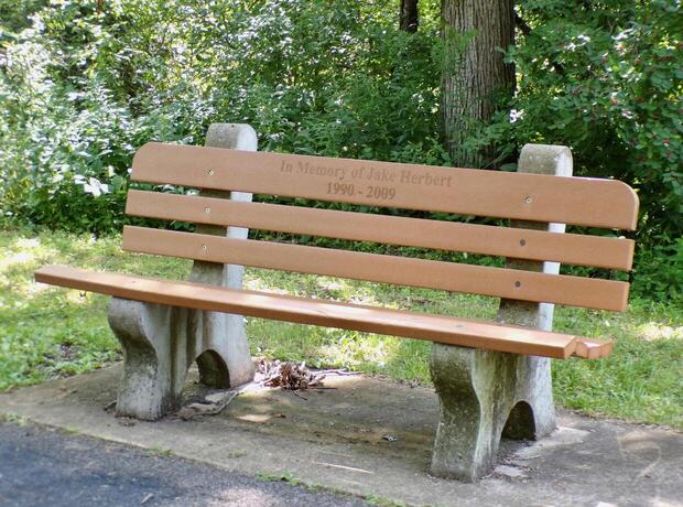
From Wehrle Drive to Shisler, there are quite a few good park benches for resting. Some face the trail and others face the woods. They seem to peter out from Shisler to Davison Road.
Leave No Trace, Ten Essentials
Section titled “Leave No Trace, Ten Essentials”While you’re enjoying the outdoors, please leave no trace![]() to minimize your impact and preserve these special places for others to use as well. If you’re walking or hiking, please pack the REI ten essentials
to minimize your impact and preserve these special places for others to use as well. If you’re walking or hiking, please pack the REI ten essentials![]() for your own safety. When cycling, consider using this REI checklist
for your own safety. When cycling, consider using this REI checklist![]() . For other activities, review the hiking and biking essentials and use your judgment.
. For other activities, review the hiking and biking essentials and use your judgment.
Trail Surface
Section titled “Trail Surface”The trail is 100% paved. It is 8-10 feet wide most of the way and even wider near the Parks Department where you share the road with cars and trucks.
Restrooms
Section titled “Restrooms”There is a single portable toilet at the Clarence Hollow Farmers Market.
There are restrooms in the Clarence Town Pool building which is open Monday-Friday from 11am to 7pm and weekends & holidays from 12pm to 7pm. However, the town pool website declares that “all pool patrons are required to have a Clarence Town Pool I.D. Card for access to the facility.”
Parking
Section titled “Parking”There are several parking lots:
- Paved but unstriped lot at Wehrle Drive
- Large paved and striped lot at the Clarence Hollow Farmers Market between Sawmill Road and Main Street, two handicapped
- Large paved and striped lot at Salt Road, north of Main Street, two handicapped
There are smaller lots near some of the street intersections.
Points of Interest
Section titled “Points of Interest”
Points of Interest include:
- Lots of good park benches for resting
- Main Street Town Park

- Clarence Hollow Farmers’ Market
 claims to be New York’s only “Rails-to-Trails” Farmers’ Market and is open Saturdays, June through October, 8:00AM to 1:00PM
 - Several side trails connect to residential streets
- One side trail connects to Clarence High School
History
Section titled “History”The Westshore Trail Extension is built on a former railbed of the West Shore Railroad Company which opened in the 1880’s as competition to the New York Central (NYC) Railroad and ran parallel to the NYC.
In The West Shore: A Brief History and My Experiences![]() , Charles L. Ballard, Past President, Mohawk & Hudson Chapter, NRHS, wrote:
, Charles L. Ballard, Past President, Mohawk & Hudson Chapter, NRHS, wrote:
The original West Shore started at Jersey City with stations at Hoboken and Weehawken before continuing north. It ran its first passenger train to Newburgh on June 4, 1883 and by the end of that year was running all the way through to Buffalo. Naturally, Vanderbilt retaliated. He started to build the South Pennsylvania RR purposely to parallel the Pennsylvania RR’s main line between Philadelphia and Pittsburgh. To show how nasty the situation got, the West Shore received financial aid from George M. Pullman who hated Vanderbilt. Vanderbilt, it seems, would not use Pullman sleeping cars on his line. He used Wagner Palace Cars instead.
Vanderbilt, on the other hand, was aided in his South Pennsylvania RR endeavor by Andrew Carnegie who did not like the Pennsylvania’s RR’s monopoly in Pittsburgh. The cutthroat competition between the West Shore and Vanderbilt’s New York Central caused the West Shore to flounder first. It went bankrupt in June 1884.
Another rail trail built on the West Shore Line is the West Shore Trail in Churchville, NY.
Hiking Solo (and Running, etc.)
Section titled “Hiking Solo (and Running, etc.)”Solo hikers who find themselves able to do the whole point-to-point trail distance but not the out and back may consider using Uber or Lyft to get a ride from where they parked to the other trailhead. Then you can walk to your car from there. Since this trail is in a populated area, you won’t have long to wait for a ride. I’ve done this several times (on other trails) because I usually hike solo.
Trail Summary
Section titled “Trail Summary”| Distance | 4.1 miles point to point | 8.2 miles out and back |
| Elevation gain | 92 feet | |
| Trail surface | 100% asphalt | |
| Difficulty | Easy for point to point | Moderate for out and back |
| Wehrle Drive parking and trailhead | 42.960292, -78.648152 | Approx 10 car spaces, paved, not striped |
| Davison Road trailhead | 42.985872, -78.577130 | No parking |
| Sawmill Road and Main Street parking | 42.979932, -78.590509 | Plenty of parking, paved, striped, 2 handicap |
| Salt Road parking | 42.981624, -78.587091 | Plenty of parking, paved, striped, 2 handicap |
All Trails
Both free![]() and premium All Trails accounts provide the capability to load and navigate this map. Tap/click the trail name on the map to enlarge. Scan the QR code to load the map into All Trails app on your smartphone.
and premium All Trails accounts provide the capability to load and navigate this map. Tap/click the trail name on the map to enlarge. Scan the QR code to load the map into All Trails app on your smartphone.
Why have we chosen All Trails for maps for this site?
