Shawmut Trail, Smethport, PA
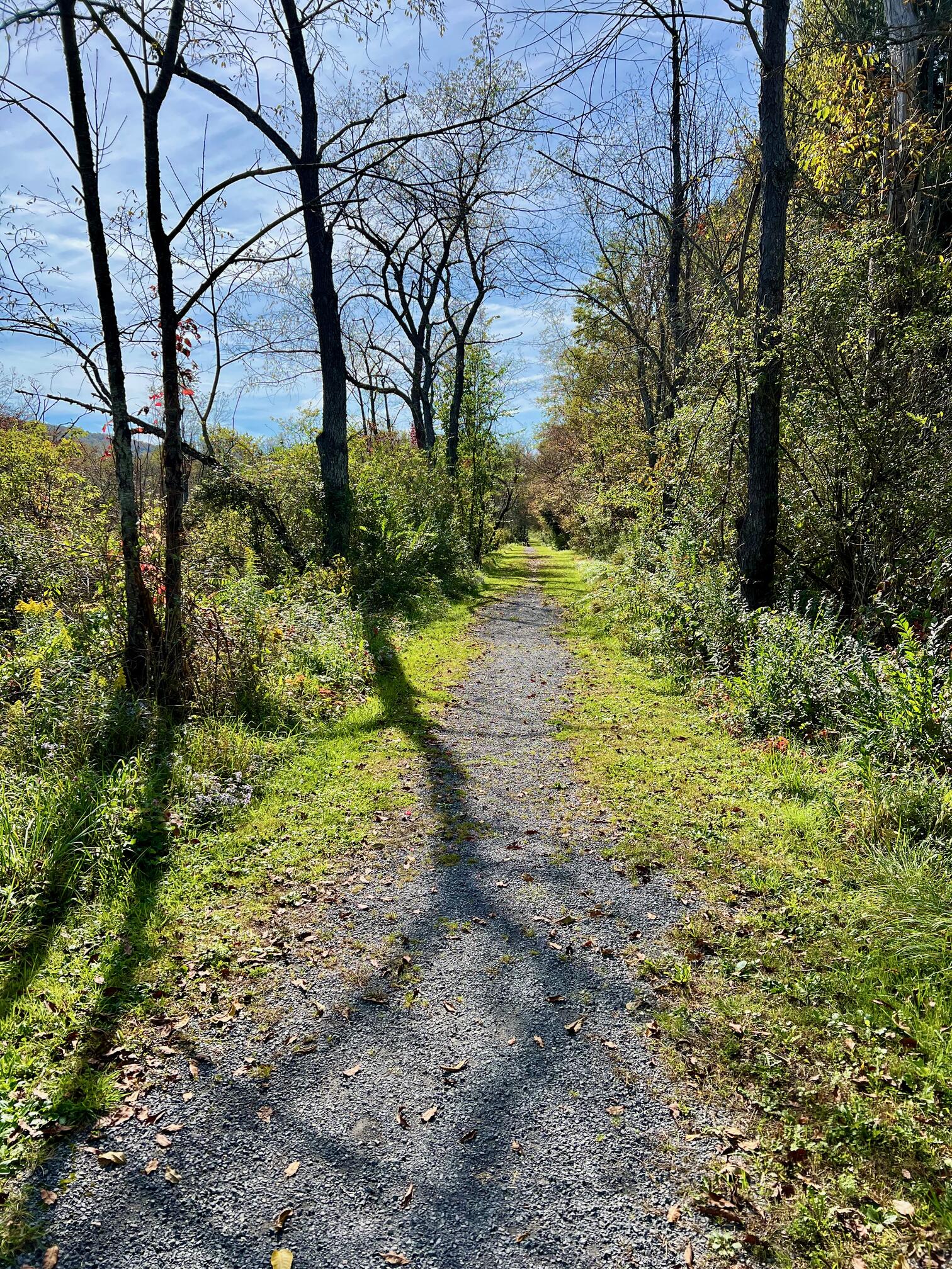
The Shawmut Trail (AKA Shawmut Railroad Trail, Shawmut Poor Farm Trail) is a 1.1 mile rail trail in Smethport, PA. It is mostly a smooth, gravel footpath with grass to the edges of the rail trail. With very little elevation gain, it is an easy trail.
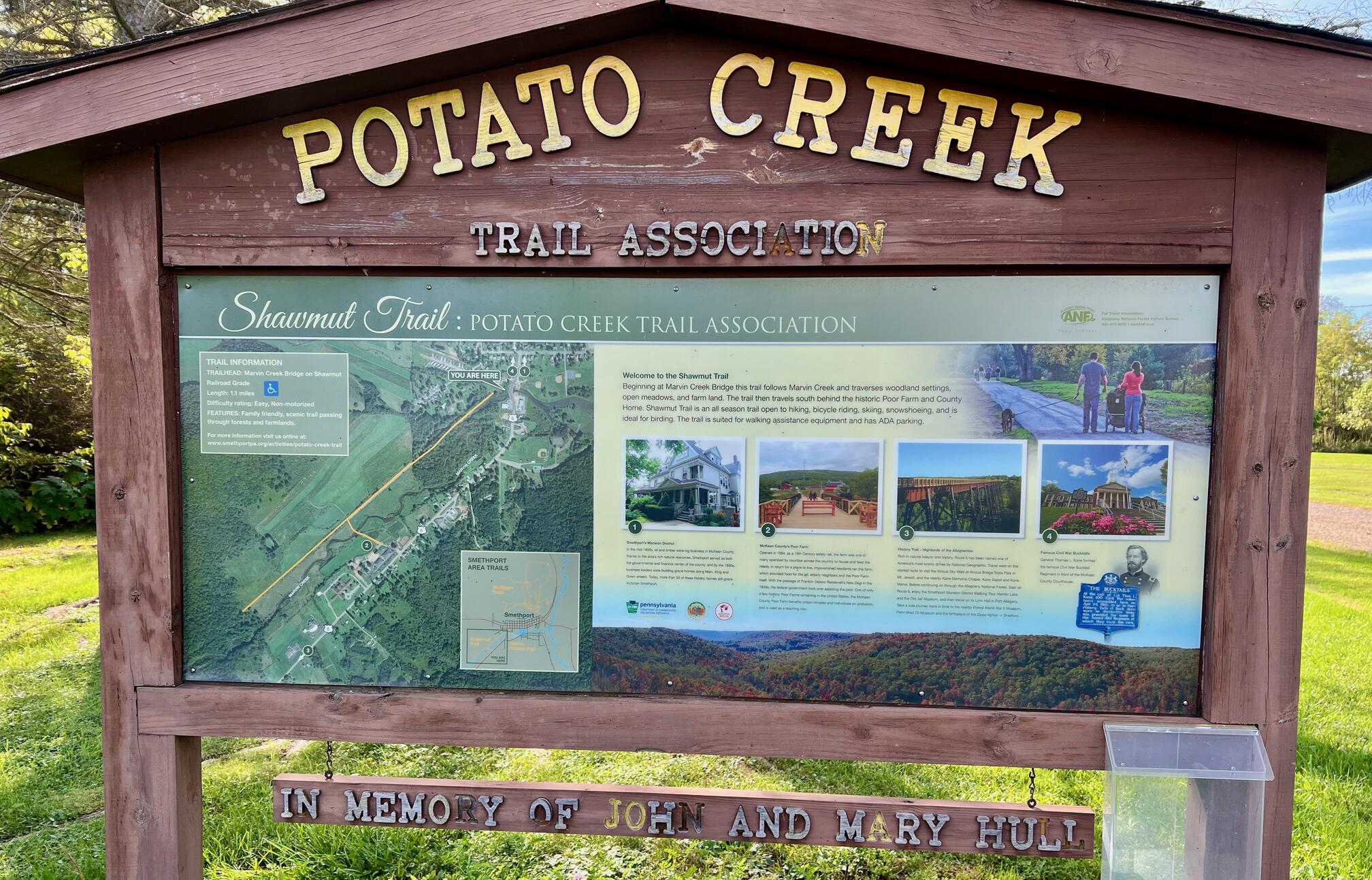 | The trailhead is in Potato Creek off South Marvin Street in Smethport, PA. |
Leave No Trace, Ten Essentials
Section titled “Leave No Trace, Ten Essentials”While you’re enjoying the outdoors, please leave no trace![]() to minimize your impact and preserve these special places for others to use as well. If you’re walking or hiking, please pack the REI ten essentials
to minimize your impact and preserve these special places for others to use as well. If you’re walking or hiking, please pack the REI ten essentials![]() for your own safety. When cycling, consider using this REI checklist
for your own safety. When cycling, consider using this REI checklist![]() . For other activities, review the hiking and biking essentials and use your judgment.
. For other activities, review the hiking and biking essentials and use your judgment.
Trail Surface
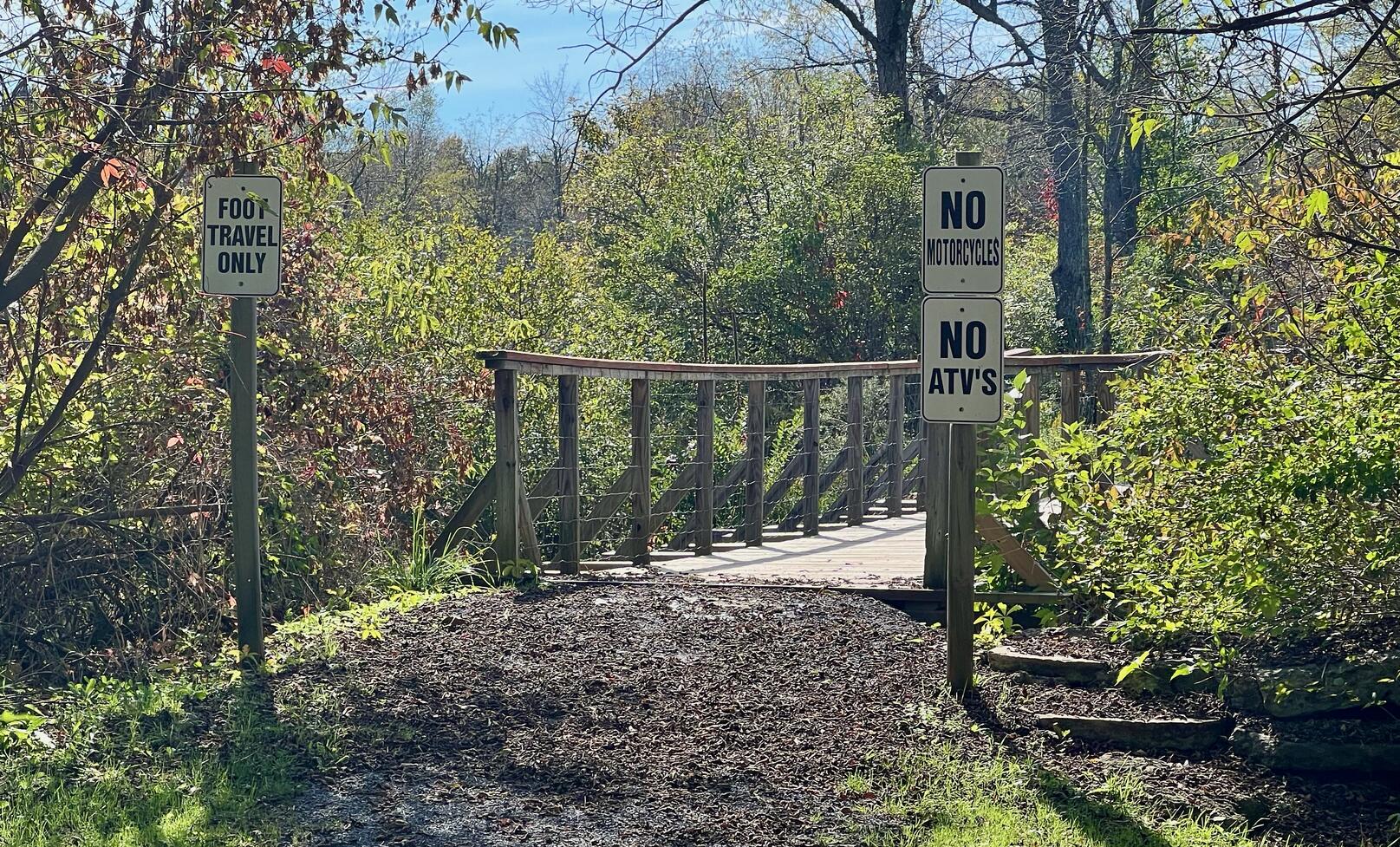
Section titled “Trail Surface”The trail is mostly a smooth, gravel footpath with grass to the edges of the rail trail. The last 40% has no gravel; it is mown grass edge to edge. There is a wooden footbridge at the very start of the trail that is in good condition.
 |  |
Please consider carefully whether this trail surface is suitable for your activity.
Restrooms
Section titled “Restrooms”There are no public restrooms at the trailheads or along the trail. The All Trails map below shows a restroom icon in Potato Creek Park. Perhaps it is a portable toilet that was gone when I was there in October, 2024.
Parking
Section titled “Parking”There is a small gravel lot in Potato Creek Park. It is not striped and has two accessible designated spots.
Points of Interest
Section titled “Points of Interest”Points of Interest include:
- Wooden footbridge in good condition over Blacksmith Run Creek
- Distinctly non-railroad bend about 0.2 miles from trailhead
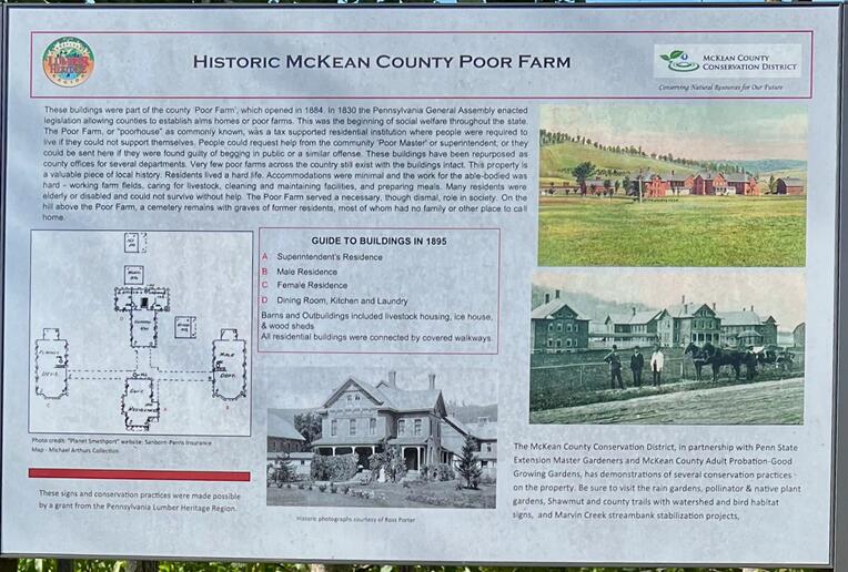
- Historic McKean County Poor Farm on Route 6 is visible on the left of the trail
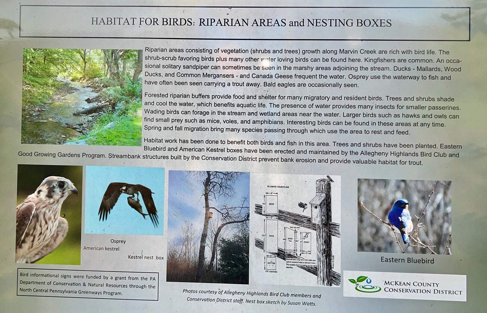
- Several signs that describe local flora and fauna just like a nature trail
- Mostly deciduous forests, open meadows and farmland
 |  |
History
Section titled “History” Shawmut Trail opens in Allegheny forest region ![]() :
:
Much to the delight of trail enthusiasts in the Allegheny forest region, it is now possible to take a new path in “Trail Central” following Sunday’s ribbon-cutting ceremony for the recently-constructed Shawmut Trail.
Volunteers from the Potato Creek Trail Association first approached Smethport Borough officials to create a multi-use trail that would benefit not only area residents, but visitors, too. After two years of collaboration, the project’s first phase has finally been completed.
Shawmut Trail is called “Shawmut Railroad Trail” in the article above, but there’s very little that ties the Shawmut Trail to a particular railroad. It could have been part of the Pittsburg (NOT Pittsburgh) Shawmut & Northern Railroad ![]() . Perhaps it was part of the Bradord, DeGolier & Smethport Railroad Company
. Perhaps it was part of the Bradord, DeGolier & Smethport Railroad Company ![]() .
.
Trail Summary
Section titled “Trail Summary”| Distance | 1.1 miles point to point | 2.2 miles out and back |
| Elevation gain | 16 feet | |
| Trail surface | Gravel, grass | |
| Difficulty | Easy | |
| Potato Creek Park trailhead and parking | 41.807362, -78.452270 | Small gravel lot, not striped, two accessible designated spots |
All Trails
Both free![]() and premium All Trails accounts provide the capability to load and navigate this map. Tap/click the trail name on the map to enlarge. Scan the QR code to load the map into All Trails app on your smartphone.
and premium All Trails accounts provide the capability to load and navigate this map. Tap/click the trail name on the map to enlarge. Scan the QR code to load the map into All Trails app on your smartphone.
Why have we chosen All Trails for maps for this site?
